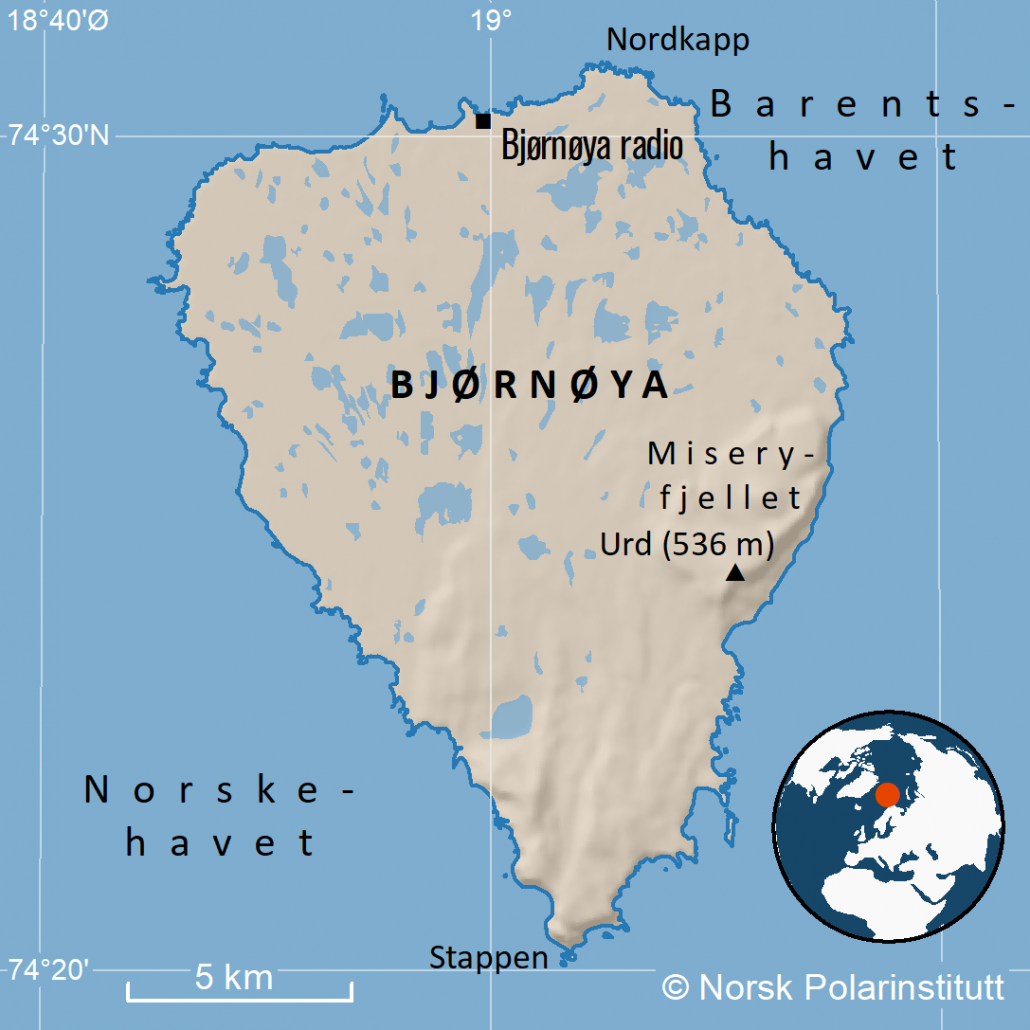
Bjørnøya has a steep, almost unapproachable coastline which serves as a popular nesting site for colonies of sea birds. Around the southern tip of the island lies some of the biggest bird colonies in the world.
There is only one usable harbour on the island, Sørhamna. The climate is relatively warm, considering the latitude. The mean temperature for the warmest month (August) is 4.4°C and -7.4°C for the coldest month (January). This is due to the polar front that often surrounds the island on the eastern, southern and western side and which provides a growth in plankton that gives benefits up the food chain.
Bjørnøya nature reserve comprise the entire island except a small area surrounding the meteorological station. It was established in 1918 as a radio- and weather station and is still in use today.

