Troll Observing Network (TONe) is a state-of-the-art, multi-platform, multi-disciplinary distributed observation network that will be established on and around the Norwegian research station Troll in Dronning Maud Land, in one of the most data-poor areas in Antarctica. The infrastructure will strengthen Norway's position within Antarctic research and monitoring, and will give Norwegian and international researchers access to observational data as a basis for new knowledge useful to society.

Is floe showing the symbiose between infrastructure services, data systems and observatories.

Antarctica and the surrounding Southern Ocean are key drivers of Earth’s oceanic and atmospheric systems. Our entire planet is interconnected with, and greatly influenced by, processes originating in the far south.

We will not be able to fully understand how the Earth system works without comprehensive and up-to-date knowledge of the physical, biological, chemical and geological processes taking place there. An extensive observation and data gathering effort is required across the entire Antarctic continent and its surrounding ocean to gain the necessary knowledge needed.

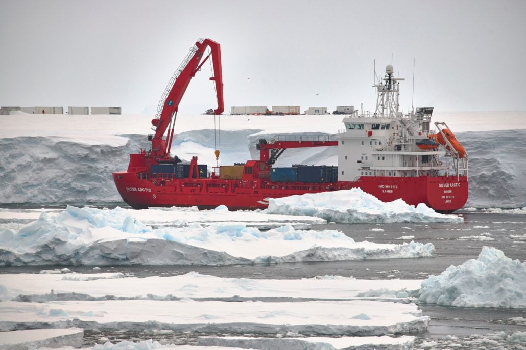
The Troll Observing Network (TONe) is a comprehensive infrastructure network that aims to contribute significantly to this goal. It is centered at the Norwegian Antarctic research station Troll and focused on the Dronning Maud Land (DML) region, a region of Antarctica with relatively little observational data available.

toneTONe is an infrastructure that wants to pave the way for better and more comprehensive atmospheric, cryospheric, marine and earth observations from the areas around the Norwegian research station Troll in Dronning Maud Land in Antarctica.

TONe consists of eight observatories, a drone service and a data system.

Partners in TONe

The initiative is spearheaded by the Norwegian Polar Institute, in collaboration with an additional five Norwegian and three international partners.

Contact


Follow TONe in social media

Documents

Annual reports

March 2022–March 2023 (PDF, 1,8 MB)

Observatories

TONe includes eight distinct observatories that will provide data that will greatly improve our understanding of:

  • key global processes relevant to climate and sea-level change (an ocean observation system in open ocean and one under the Fimbul Ice Shelf)
  • atmosphere dynamics (a cloud observatory and an air composition observatory)
  • solid earth structure and cryosphere dynamics (a seismic observatory)
  • space weather dynamics (an infrasound and an ionosphere observatories)
  • the effects of global changes on marine ecosystems (a seabird observatory)

Overview – observatories and instruments

# Observatories Owner Instrumentation Location
1 Integrated Cloud Observatory (ICO) NPI/WSU/UL Emitted infrared spectrometer. Depolarization cloud lidar. Scanning Ka-band cloud radar. Radiosondes. Polarized Raman lidar system Three new instrument containers within Troll RS
2 Atmosphere Composition Obs. (ACO) NILU Picarro analyser G2401,Pandora UV/VIS trace gas spectrometer, Aerodynamical Particle Sizer (APS), Existing observatory at Troll RS (Trollhaugen site)
3 Infrasound Array (IA) NORSAR Array of 9 infrasound sensors measuring low frequency sound waves in the atmosphere New location within Troll RS, co-located with SA
4 Ionosphere Observatory (IO) UiO Digisonde4D (digital ionosonde) New location within Troll RS. Antennas, mast and data-hut
5 Seismic Array (SA) NORSAR Array of 9 sensors sites measuring ground movements caused by earthquakes, icequakes etc. over the whole spectrum of seismic signals New location within Troll RS, co-located with IA. Array and data hut
6 Fimbulisen Ice-shelf Observatory (FIO) NPI/UiB/ BAS Under ice-shelf ocean mooring- (T, S, U, turbulence), and mass balance (AWS, ApRES, SMB thermistors, GPS). Sediment- and water sample archives and glider navigation sources Renew two existing (6-1, 6-2) and reconnaissance one new (6-3) station on Fimbulisen.
7 Multidisciplinary Ocean Moored Observatory (MOMO) NPI/UiB Multidisciplinary open ocean moorings (T, S, U, ULS, O2, CO2, pH, Nitrate, chlorophyll-a, CDOM and echo sound and passive acoustics), under sea ice glider & float navigation sound sources, annual profile Add sensors on two existing moorings (7-1, 7-2); establish one new mooring (7-3), and regular transects
8 Seabird Monitoring Observatory (SMO) NPI Time laps camera, automatic weather station at two locations Instruments in field at two locations 8-1 Jutulsessen and 8-2 Svarthamaren
 locations for observatories on a map

Integrated Cloud Observatory(1)

The radiative effects of clouds and aerosols are two of the largest uncertainties in global climate models, especially in the polar regions. The new Integrated Cloud Observatory (ICO) will consist of new passive and active remote sensing instruments for measuring temperature and humidity profiles and cloud and aerosol characteristics. ICO will build on the experience of a similar observatory successfully operated at Summit Station, Greenland. ICO will be owned and managed by NPI, and will look at the coupling between clouds and aerosols and their role in the surface energy balance, which is related to the warming of the Antarctic surface. Lidar observations will probe both tropospheric and polar stratospheric clouds and their coupling to the ozone layer. Daily weather balloons will provide vertical profiles of temperature, humidity and winds up to 30 km, important quantities for retrieving cloud properties from the remote sensing instruments.

Atmosphere Composition Observatory (2)

The existing atmosphere observatory facility by NILU at Trollhaugen will be upgraded to a comprehensive Atmosphere Composition Observatory (ACO) with new instruments to complement the ongoing monitoring of UV, total ozone, aerosols, pollutants, climate/greenhouse gases and other trace gases. The new instruments, some of which are first of their kind in Antarctica, will focus on in-situ and total column measurements of gases crucial to climate change and ozone layer chemistry, and physical properties of aerosols. ACO will thus further strengthen the basis to understand atmospheric circulation and transport of pollutants into DML, provide inputs to large-scale models in the polar regions and contribute to global satellite validation.

Ionospheric Observatory (4)

The upper atmosphere will be studied at the expanded Ionospheric Observatory (IO). A digital ionosonde (digisonde) will be added to the existing all-sky-imager, and TEC and scintillation receiver, all owned and managed by University of Oslo. There are only two other digisondes in Antarctica. The new instruments will measure vertical profiles of electron densities and provide ionospheric plasma mapping and flow velocities in the lower ionosphere, where coupling to the neutral atmosphere is the strongest. Auroral activity and Joule heating in the polar regions lead to heating of the neutral atmosphere and also to the depletion of ozone. Related space weather effects can impact man-made systems, such as satellite-based navigation and radio communications.

Infrasound Array (3)

The new Infrasound Array (IA) will, by using infrasound waves, allow characterisation of upper stratosphere, mesosphere and lower thermosphere dynamics, as well as quantification of vertical coupling between these layers and the troposphere. IA will allow for studies of the stratospheric polar vortex and disruptions to this important circulation system, as well as elucidating atmospheric tides. Data will also be utilised to detect and locate acoustic events and study atmospheric gravity waves, which play an important role in the transfer of middle atmospheric momentum and can influence the dynamics of the upper atmosphere. The infrasound array will be owned and managed by NORSAR and co-located with the seismic array.

Seismic Array (5)

The new Seismic Array (SA) will work as an antenna for seismic signals from all over the globe, enabling the estimation of their attributes (e.g. amplitude and frequency content, propagation velocity and direction) which is not possible using the existing single station. These observations can be used to continuously track the dynamics of the cryosphere (in combination with IA) by detecting and locating icequakes, monitor climate change-induced temporal changes in the behaviour of ice sheets and ice shelves, investigate seismotectonics in DML, investigate physical processes behind seismic signal sources, and decipher the Earth’s structure on different scales, from the crustal geology in DML to global tomography studies. SA owned and managed by NORSAR will bring the Troll RS to the forefront of high-quality seismic observatories globally.

Fimbulisen Ice-shelf Observatory (6)

The 2009 Fimbulisen Ice-shelf Observatory (FIO) by NPI will be renewed by means of a hot-water-drilling campaign to continue and refine the long-term time series of mass balance at, and ocean properties beneath, the largest ice-shelf in DML. This will enable continued and extended time series of critical ice- shelf surface (AWS) and basal (ApRES) mass balance and warm inflow and cavity circulation parameters (cavity moorings). Through this, it will be possible to observe inter alia ice-shelf – ocean boundary layer structure and turbulence to gauge melt parameterisations in models. It will also be possible to retrieve unique under ice-shelf sediment cores and water samples from open borehole at deployment time, and to deploy surface powered sound sources through the boreholes for autonomous glider navigation inside the cavity and under the sea ice in front.

Multidisciplinary Ocean Moored Observatory (7)

The extension of the Multidisciplinary Ocean Moored Observatory (MOMO) by NPI and University of Bergen – an array of open ocean multi-disciplinary moorings across the continental shelf break and Antarctic Slope Front regime – will be implemented, which, together with annual surveys, will create a coastal marine observatory. MOMO provides the opportunity to monitor physical, biogeochemical and biological properties in the Weddell Gyre inflow/Antarctic Slope Front, off the DML coast in the ocean area Kong Haakon VII Hav. In this effort, two existing moorings will be harmonised with national multi-disciplinary instrumentation standard , including sound sources for autonomous glider navigation under sea ice. A third mooring will be established to monitor the upper slope. MOMO will be supported by an annual survey.

Seabird Monitoring Observatory (8)

A new automated Seabird Monitoring Observatory (SMO) will be established, utilising two types of time-lapse cameras and automatic weather stations deployed at the two largest seabird colonies in DML (Svarthamaren and Jutulsessen) combined with large-scale surveys from remotely piloted aircrafts. This observatory, owned and managed by NPI, will provide key information on seabird distribution, status and trends, and will allow continued and extended ongoing wildlife monitoring activities in DML.

Remotely Piloted Aircraft System

airplane

The new Remotely Piloted Aircraft System (RPAS) service will be established and made available at cost to national and international research groups, individually or collaboratively, during field work in the region.

RPAS will be operated from Troll RS, field camps and research vessels operating in the DML area. This will include two new fixed-wing long-range RPA with large payload capacity. RPAS will be instrumented to serve research projects at Troll RS, with data collection capability horizontally and vertically to cover large parts of DML.

Sensor packages include VHF radar for bedrock and bounding line mapping, GHz radar for snow precipitation mapping, aerial cameras for, e.g., seabird, marine mammal and sea-ice mapping, sensors for meteorological, cloud and aerosol profile measurements and hyperspectral sensors for measurements of chlorophyll and primary production. Additional sensors can be used with the fixed-wing RPA based on researcher needs.

The RPA service, owned and managed by NORCE and NPI, will complement and strengthen data collection from most of the TONe observatories.

Data service and access point

A common data infrastructure and common data management policy are important parts of TONe.

A on-site data infrastructure will be established to ensure secure and structured management of all TONe data. The infrastructure will comprise of redundant data staging servers and storage units, redundant application servers, network switches and other required peripherals. All data will be transferred to permanent storage at data centres in Norway, and go through necessary data processing and quality control.

The data repositories will be required to implement the FAIR principles for all TONe data, making the data machine-readable and accessible to users without human intervention. The data repositories will expose discovery level metadata on standard formats and interfaces, allowing the metadata to be harvested by the Norwegian Scientific Data Network (NorDataNet) and made accessible through their public search interface.

A unified data access point will be established in the planned TONe web portal. By metadata filtering and extended search capabilities, the TONe data users will be provided with a dedicated, human-readable data search, browse and access facility. The TONe web portal itself will be built upon the NPI’s existing web solutions to best integrate pre-existing information on Troll research station and its utilisation.

Milestones for TONe

  • Jan. 23

    New sensors on the MOMO ocean rigs and oceanographic measurements using NPI’s TrollTransect

    Establishing new atmospheric instruments in NILU’s observatory.

  • Nov. 22

    NORSAR Sitesurvey for seismic array field and establishment of camera system in SMO

  • Sep. 22

    All contracts have been signed

  • March 22

    TONe is officially underway

  • Dec. 21

    TONe is granted

    – and this brings a huge boost to Norwegian Antarctic research and monitoring. Read more (in Norwegian)